Wednesday, May 20, 2015
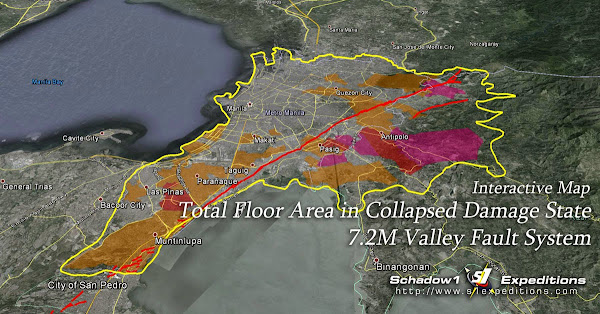
Interactive Risk Analysis Map of the Valley Fault System Earthquake
Last June 2013, PHIVOLCS has released a series of risk analysis scenario maps pertaining the West Valley Fault System in case its movement triggers a large earthquake within Metro Manila. These maps provide structural stability analysis of localities that can be affected in case a 6.5M or 7.2M earthquake jolts the metropolis due to the movement of the Valley Fault System that is estimated to be active in every 300 +/- 100 years.
Subscribe to:
Posts (Atom)

